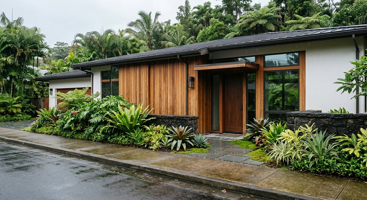
Ever picture yourself waking up to Kohala Mountain views, with room for horses, gardens, or a quiet retreat under starry skies? Buying acreage in Waimea–Kohala feels different from a typical neighborhood purchase, and it is. Parcels here can have layered rules, unique water sources, and access quirks that shape what you can actually do on the land. In this guide, you’ll learn how to evaluate water, zoning, CC&Rs, access, utilities, and the key steps to a smooth escrow. Let’s dive in.
What makes Waimea–Kohala different
The upcountry slopes around Waimea and Kohala have deep ranch and agricultural roots. You’ll see larger pasture tracts, farm lots, and estate parcels alongside residential pockets that grew up around ranch life. Much of the region’s water history ties back to plantation and ranch systems. The Kohala and Hāmākua ditch networks and the Waimea Irrigation System still support livestock and agriculture today. You can explore the regional context in the Kohala Mountain Watershed Management Plan, which explains how ditch systems and reservoirs helped shape land use across the area.
Because of this history, you’ll often face overlapping rules. A property may look open and flexible, but State Land Use designations, County zoning, water allocations, and private CC&Rs each have a say in what is allowed. Start with Hawaiʻi County Planning’s zoning and land use resources to understand your parcel’s State district and County zoning.
- Learn the regional ditch and irrigation background in the Kohala Mountain Watershed Management Plan.
- Review County zoning and permitted uses starting on the Planning Department’s zoning page.
Zoning and land-use basics
State and County layers
Every parcel in Hawaiʻi sits in a State Land Use District (Urban, Agricultural, Conservation, or Rural). Hawaiʻi County then applies its own zoning and permitting rules. Your first step is to confirm both designations for the specific TMK so you know which rules apply. The County’s zoning and land use resources are your starting point for maps, codes, and next steps.
For a quick way to see what activities are allowed, check the County’s official Permitted Uses table. It outlines what is permitted by right and what needs a use permit.
- Start at the County’s zoning and land use resources.
- Use the County’s Permitted Uses table to confirm allowed activities.
Agricultural uses and limits
Grazing and many farm uses are expected on agricultural land. That said, certain operations like piggeries, apiaries, or intensive feeding may need special reviews or health approvals. Some non-ag or visitor-oriented uses require permits. Short-term vacation rentals are restricted in many agricultural areas, and you must confirm if a parcel can lawfully apply for a license under County rules. Always verify permitted and conditional uses for the exact zoning and State district before you plan improvements or revenue strategies.
- Confirm permitted vs. conditional uses in the County’s Permitted Uses table.
- Review County rules on short-term vacation rentals through the Planning Department’s resources.
CC&Rs and HOAs: read the fine print
Private covenants can shape day-to-day life on acreage. Common rules include building envelopes and design review, limits on animals, road and gate protocols, and restrictions on commercial activity. In some local cases, HOA decisions have affected whether parcels kept a “dedicated agriculture” property tax classification. That can change carrying costs.
Your action plan:
- Pull recorded CC&Rs, any architectural guidelines, and HOA meeting minutes.
- Confirm the number of dwellings or farm dwellings allowed under zoning and whether CC&Rs add stricter limits.
- Ask the County Real Property Tax office about the parcel’s current tax classification and any history of agricultural dedication.
Water: your top due diligence item
Water defines feasibility for homes, livestock, and crops in Waimea–Kohala. You’ll find a mix of County water, irrigation ditch supply, and private wells. Each source has its own rules and costs. The County Department of Water Supply (DWS) provides the authoritative view of public water service and availability.
- Visit the Department of Water Supply to check service areas and availability.
County water service in Waimea
The DWS Waimea Water System blends treated stream diversions from the Waikoloa and Kohakohau streams with groundwater, including a Parker Ranch well source. Planning documents describe several large reservoirs with combined untreated storage of about 158.5 million gallons, plus multiple pressure zones. Stream flows vary seasonally, so ditch operations and reservoir management matter for agriculture and pasture supply.
- See the Waimea system details and storage information in DWS planning documents.
Before you buy, request a DWS “water availability” check for the TMK. Ask about meter allocation, the pressure zone, and any recent conservation or outage notices. If there is no existing meter, confirm the process and fees to obtain one.
Irrigation ditches and ranch supply
Parts of Waimea and South Kohala still rely on the Hawaiʻi Department of Agriculture’s Waimea Irrigation System and remaining ditch fragments for ag water. The Upper Hāmākua Ditch feeds the Waimea Reservoir and supports farm lots in Lālāmilo and Puʻukapu, as well as livestock supply for some ranch operations. Ditch water rights and lateral agreements can be parcel-specific, so request copies and confirm delivery reliability.
- Learn about the region’s ditch and reservoir systems in the Kohala Mountain Watershed Management Plan.
Private wells and State permits
If a property uses a private well, the State Commission on Water Resource Management (CWRM) regulates construction and pump installation. Ask for well logs, registration documents, and recent pump tests. For larger withdrawals, expect hydrologic evaluations. Budget time for inspections and be ready to run a 24- to 72-hour pump test during escrow.
- Review CWRM well standards for construction and permitting.
Wastewater and cesspools
Upcountry parcels often rely on onsite wastewater systems. Under Act 125 (2017), cesspools must be converted by 2050. The Hawaiʻi Department of Health maintains a cesspool priority map and offers guidance and pilot grant programs that have reimbursed up to $20,000 in priority cases for eligible households. Check whether a planned renovation, proximity to sensitive water resources, or a transfer could trigger an earlier upgrade requirement.
- Read DOH guidance on cesspools, mapping, and grants.
Access, easements, and roads
Legal access vs. a drivable track
A visible road does not guarantee legal access. Confirm whether the route is a County-accepted public road, a recorded public-use easement, or a private road with a recorded easement. Title and survey work should verify access, roadway acceptance, and any off-site improvements that affect your parcel. Start with the Planning Department’s resources for right-of-way and acceptance procedures, and work with your title company to trace the chain of title and recorded easements.
- Use the County’s zoning and land use resources for ROW and acceptance context.
- Reference Land Court and Bureau of Conveyances records as part of title work.
Private roads and maintenance
If access is through a gated or private road, request the road maintenance agreement. You need to know who pays for grading, culvert repairs, gate electronics, and rockfall mitigation. Ask if assessments are current and whether disputes exist.
Red flags to watch for:
- No recorded legal access or reliance on unrecorded, informal use.
- Bridges or culverts with no maintenance records.
- “Paper roads” not accepted by the County.
Utilities, internet, and energy realities
Electricity on the island is supplied by Hawaiʻi Electric Light Company. Remote parcels may need line extensions or a new transformer, which adds cost and time. Many owners pair grid service with solar, battery storage, and a backup generator.
Broadband varies by street. Closer to town centers you may find cable or fiber. More remote acreage often relies on fixed wireless or satellite. If you plan to work from home or host guests, ask providers for serviceability and verify speeds on site.
Keep energy costs in mind if you’ll pump water uphill or run pressure systems. Local water system energy reports note that pumping is a major ongoing expense in certain systems.
- Review DWS’s energy report for context on pumping and energy use.
Step-by-step due diligence for acreage
Use this checklist to structure your escrow timeline:
- Core documents and records
- Order a title commitment and pull the full chain of title. Confirm easements, reservations, and any road maintenance agreements in the record.
- Obtain a current survey. An ALTA/NSPS or boundary retracement should show fences, building envelopes, easements, encroachments, and water infrastructure.
- Collect recorded CC&Rs, HOA minutes, architectural rules, and any ditch or lateral agreements.
- Water and wastewater
- Ask DWS for water availability, meter allocation, pressure zone, and recent conservation or outage notices.
- If there is a private well, obtain well logs, pump tests, and CWRM registration. Budget for a 24- to 72-hour pump test and sanitary inspection.
- If a cesspool is present, check DOH priority mapping and whether an earlier conversion could be triggered. Review eligibility for DOH pilot grants for qualifying households.
- Soils and pasture use
- Use parcel-level soils data and consult an agronomist or extension advisor. Evaluate drainage, erosion risk, rock outcrops, and realistic pasture carrying capacity. Factor in fencing and water distribution when estimating usable acres.
- Fencing and water delivery
- Inspect perimeter and interior fencing. Verify that fences match legal boundaries.
- Map stock water points, troughs, tanks, lines, and controls. Get repair or upgrade quotes. Confirm ownership and maintenance of any shared improvements.
- Environmental and cultural overlays
- Check for State Historic Preservation records of archaeological or burial sites.
- Confirm any stream setbacks, Conservation District overlays, conservation easements, or agreements that limit subdivision or grazing. Use County Planning resources as a starting point for mapped constraints and permit questions.
- Access and road work
- Verify legal access through title and survey. If the road is steep or crosses gulches, consider a geotechnical review for driveway, culvert, or bridge design.
- Confirm County acceptance of any public segments and review private road obligations.
- Taxes, assessments, and insurance
- Ask the County Real Property Tax office about current classification, any agricultural dedication, and whether HOA restrictions have affected tax treatment previously.
- Review HOA budgets and special assessments tied to roads, gates, or shared water.
- Your minimum pro team
- Hire a Hawaiʻi-licensed real estate attorney familiar with rural easements and Land Court/Bureau of Conveyances practice.
- Engage a title company and licensed surveyor.
- If water relies on a well, retain a hydrogeologist or well consultant. Coordinate with DWS on public meter questions.
- Bring in an agricultural advisor for soils and pasture planning, and civil or structural engineers for driveway or septic design when needed.
- Timeline planning
- Expect 30 to 90 days for core title, survey, and legal review. Allow another 30 to 90 days for well tests, wastewater approvals, and permit applications. Larger changes like new wells, major grading, ditch alterations, or visitor-serving uses can require public hearings and take many months.
Timelines and expectations
Acreage purchases reward patience and planning. Build milestones into your escrow for survey review, water verification, and access confirmation before release of contingencies. If your business plan depends on ag water or a new dwelling, sequence permit research early. Budget both time and funds for line extensions, road work, fencing, and water system upgrades, as these items often define near-term feasibility.
Work with a local guide who knows acreage
When you’re buying land where water sources, CC&Rs, and access all matter, the right guidance is everything. With decades of Hawaiʻi experience and a calm, systems-driven approach, we help you read the fine print, validate assumptions, and move with confidence from interest to closing. If you’re exploring a multi-acre retreat, a working pasture, or a country estate in Waimea–Kohala, connect with Cheree Rapozo to map your next steps.
FAQs
What should Waimea–Kohala acreage buyers know about water service?
- Start with the County Department of Water Supply to confirm if your TMK is in a service area, whether a meter is available, and what pressure zone and conservation history apply.
How do zoning and State Land Use designations affect ranch or farm plans?
- State districts set broad categories and the County’s zoning code governs specific uses; verify your parcel on the Planning Department’s zoning page and confirm allowed activities in the County’s Permitted Uses table before you plan improvements.
Can I operate a short-term vacation rental on agricultural land near Waimea?
- Many ag-zoned parcels face STVR restrictions; eligibility depends on zoning, location, historic use, and current County rules, so confirm with the Planning Department’s resources before relying on rental income.
What does Act 125 mean if a property has a cesspool on the Big Island?
- Cesspools must be converted by 2050; review the Department of Health’s cesspool guidance for priority mapping, potential triggers for earlier conversion, and pilot grant opportunities for eligible households.
How do I confirm legal access to a pasture parcel in Kohala?
- Order a title commitment, an ALTA/NSPS survey, and review recorded easements and roadway acceptance; consult County Planning resources for right-of-way context and reference Land Court/Bureau of Conveyances records via your title team.
What should I expect for utility and internet options on remote acreage?
- Electric service may require line extensions or a transformer; internet can range from fiber near town to fixed wireless or satellite in rural areas, so request provider serviceability and test speeds on site; factor in energy costs if you’ll pump water uphill, as highlighted in DWS energy reports.